AxelGlobe - Documentation
Explore our guides and examples on how to integrate AxelGlobe.
https://docs.axelglobe.com/en/stac-api
Hi there! This is Meg (HR/Hiring) from Axelspace, and welcome to our very first English version of Axelspace Employee Interview series! 🚀
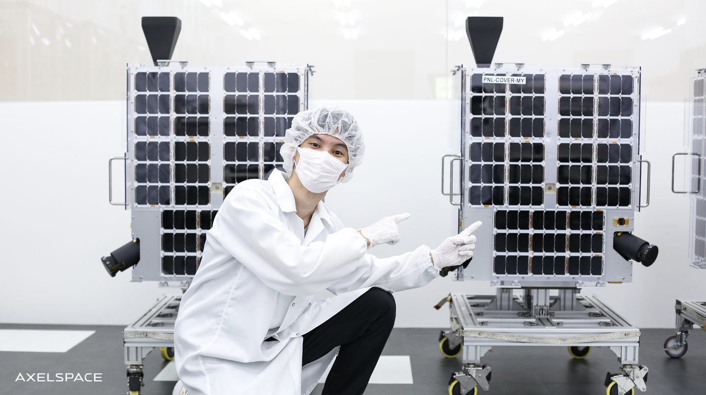
As you may know, Axelspace has been manufacturing microsatellites for over a decade now, but did you know that Axelspace also develops a service platform called AxelGlobe that provides satellite imagery/solutions to customers?
For today's article, we brought a spotlight to one of our software engineers developing AxelGlobe to give you a further insight about their job at Axelspace!
Ryota Kaneko(金子 良太)
After graduating with Masters Degree in Administration Engineering and Software Engineering, Ryota worked with the development and maintenance of sales system at a SaaS business.
Since joining Axelspace, Ryota has been working on the development and operation of the satellite imagery download and sales system of AxelGlobe.
Ryota enjoys running. He tries to run once a day, and he ran approximately 200km in 2021! 🏃♂️💨
Watching NBA and programming are his other hobbies, and his recent interest in engineering has been about QGIS (a GIS Desktop application) and developing Plugins.
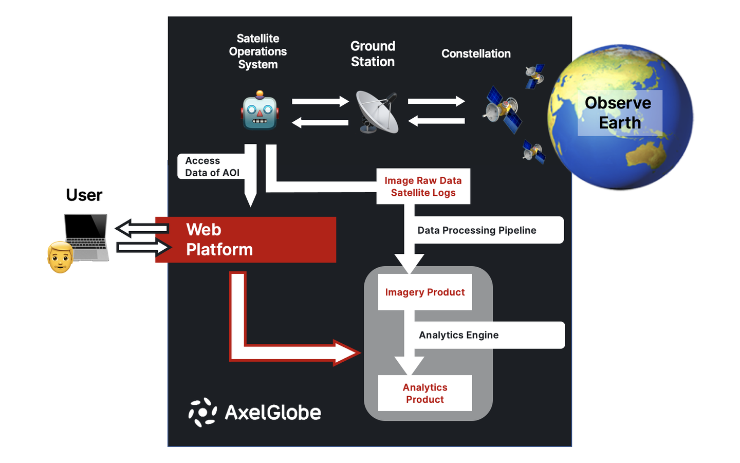
My team is consisted of back-end and front-end engnieers, and together, we develop the interface (aka web platform) of each products/services of AxelGlobe in addition to handling the interface that manages customer data (e.g., AOI (Area Of Interest: a satellite-captured image that the customer is interested), user information and contract details).
My teammates come from all over the world so we use English as our main communication language (FYI the company language is both Japanese and English).
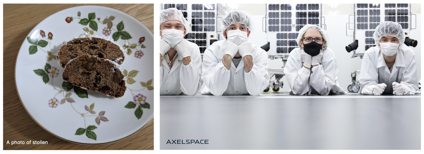
Recently, I ran into this sudden realization that eating stollen with coffee tastes a lot better than eating them separately, and when I shared this story with a teammate who loves having cinnamon roll with a coffee, he shared this secret that spice and coffee gets along. So mind-blowing! 👀
Despite people working remotely, it’s nice to be able to take a quick break from work and to have a super random chat like this with my team because working from home can make this difficult.
As a back-end engineer myself, my main responsibilities are:
Emoji License Credit
1. earth_asia: https://emojipedia.org/globe-showing-asia-australia/
2. satellite: https://emojipedia.org/satellite/
3. satellite_antenna: https://emojipedia.org/satellite-antenna/
4. robot: https://emojipedia.org/robot/
5. laptop: https://emojipedia.org/laptop/
6. man: https://emojipedia.org/man/
We use Python3 as our main language.
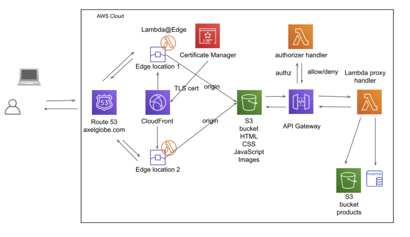
The system architecture uses AWS and is mainly configured to be serverless. Terraform is used to manage AWS infrastructure resources, and the database mainly uses PostGIS, which is an extension for working with GIS data in PostgreSQL. AWS CloudWatch is used for error detection and logging.
AWS Icon Credit
https://aws.amazon.com/architecture/icons/
Additionally, we work to make sure that our data is compatible with the STAC Specification.
The GIS (Geographic Information System) ecosystem has several standard specifications that define how data with coodinate information is exchanged between server and client systems. These include the API family managed by OGC (Open Geospatial Consortium) and the STAC Spec standarized by the Geospatial Data Provider community.
With the recent rise of satellite constellation businesses and satellite data becoming open source, the temporal resolution of Earth observation has enabled analytics of chronological change detection. The STAC Spec aims to standardize the specifications of how to provide Spatio Temporal Assets to the ecosystem.
At Axelspace, we are developing an API provision according to the STAC Spec, and are currently providing access to satellite images taken by GRUS (AxelGlobe-owned satellties). We also plan to make a Spatio Temporal Asset Collection publically available for other purposes in the future.
The back-end system of AxelGlobe is not something that can bring the value to the table alone. We must work together with the Satellite Operations System to capture AOI data, and work with the corporate department to develop and maintain sales systems for payment procedures. To meet the growing global demands of AxelGlobe and to ensure we can continuously integrate with various parter and payment systems, it is very challenging to design the architecture in a scalable and maintainable manner. Not to mention the difficulties of communication and release management.
Accessibility to Spatio Temporal Assets is crucial for users wanting to see satellite images and analyze them. As the ecosystem and knowledge are still in their growing stages, software engineers need to understand the implications of this technology, and think and define how to solve customer issues.
The packet size of geospatial data can be a lot bigger than the data size that is commonly handled in web development. One of the challenges our team currently faces is developing a web platform that can handle these large packets and still maintain performance standards.
To tackle these challenges, I look forward to working with more back-end engineers experienced in database query tuning, cache design and asynchronous system integration! :)
